Muddy Creek Herd Management Area
Big, beautiful, and rugged.
Muddy Creek from the Lone Tree Crossing bridge.
Reed's Pond.
varied scenery and plenty of mustangs
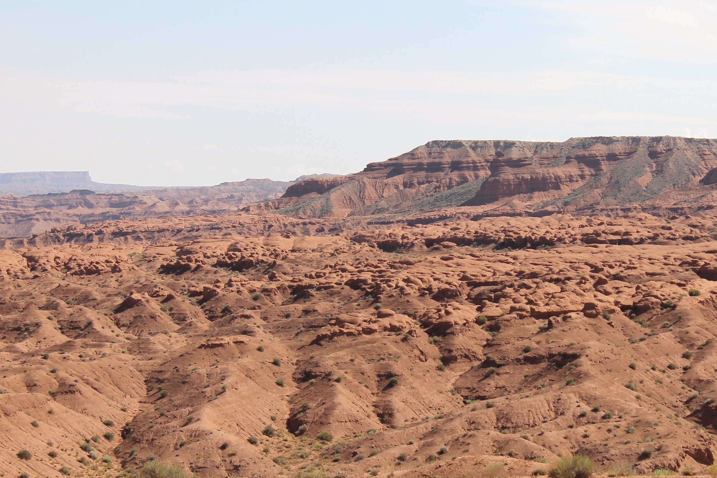
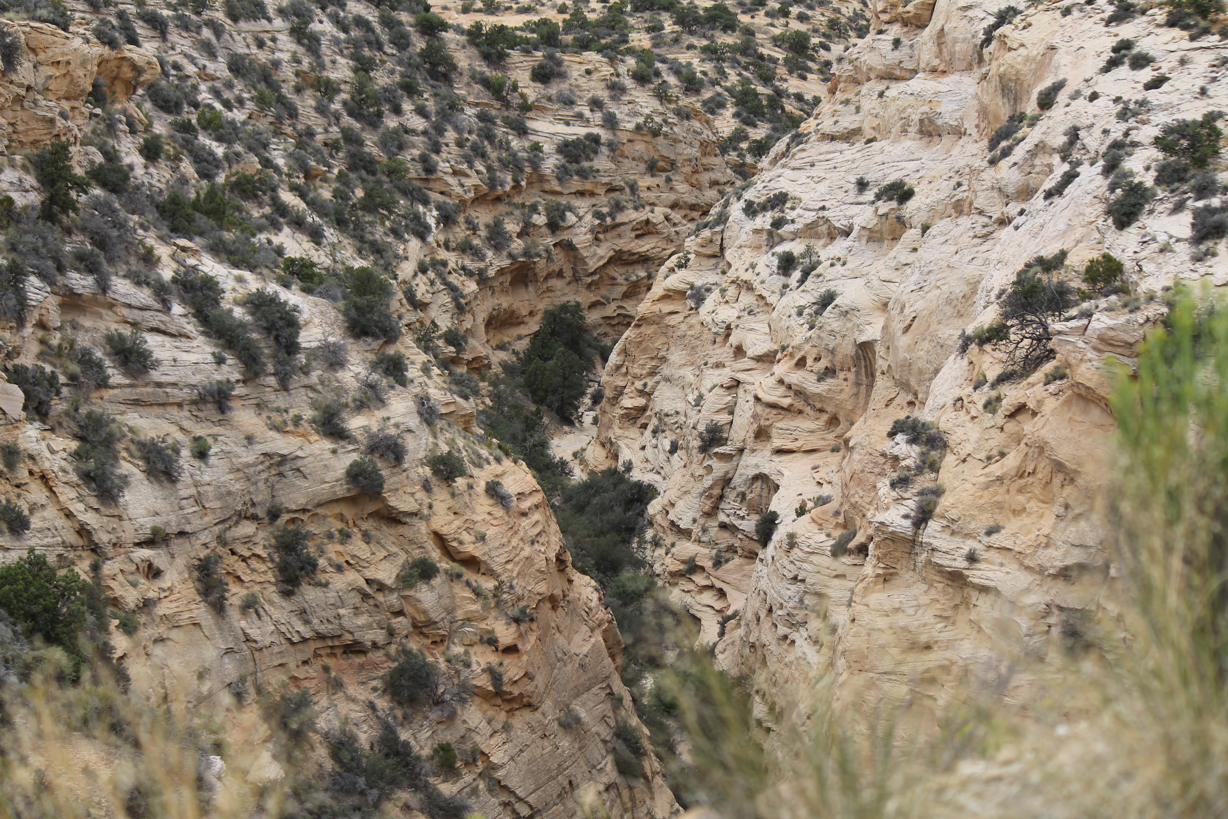
Muddy Creek begins an eastward flow from the mountains of the Manti-Lasal National Forest, bending southward around the city of Emery and continuing through Miller's Canyon to tunnel below US-70 about 1/2 mile east of Exit 99. Wringing thin, broken ribbons of greenery from the beige, buff and blush sands of the southern San Rafael Swell and northern Wayne County, the Muddy merges with the Fremont about 2 miles east of Hanksville to form the Dirty Devil River, ultimately trickling into the Colorado near the town of Hite, some 40 miles further south in Garfield County.
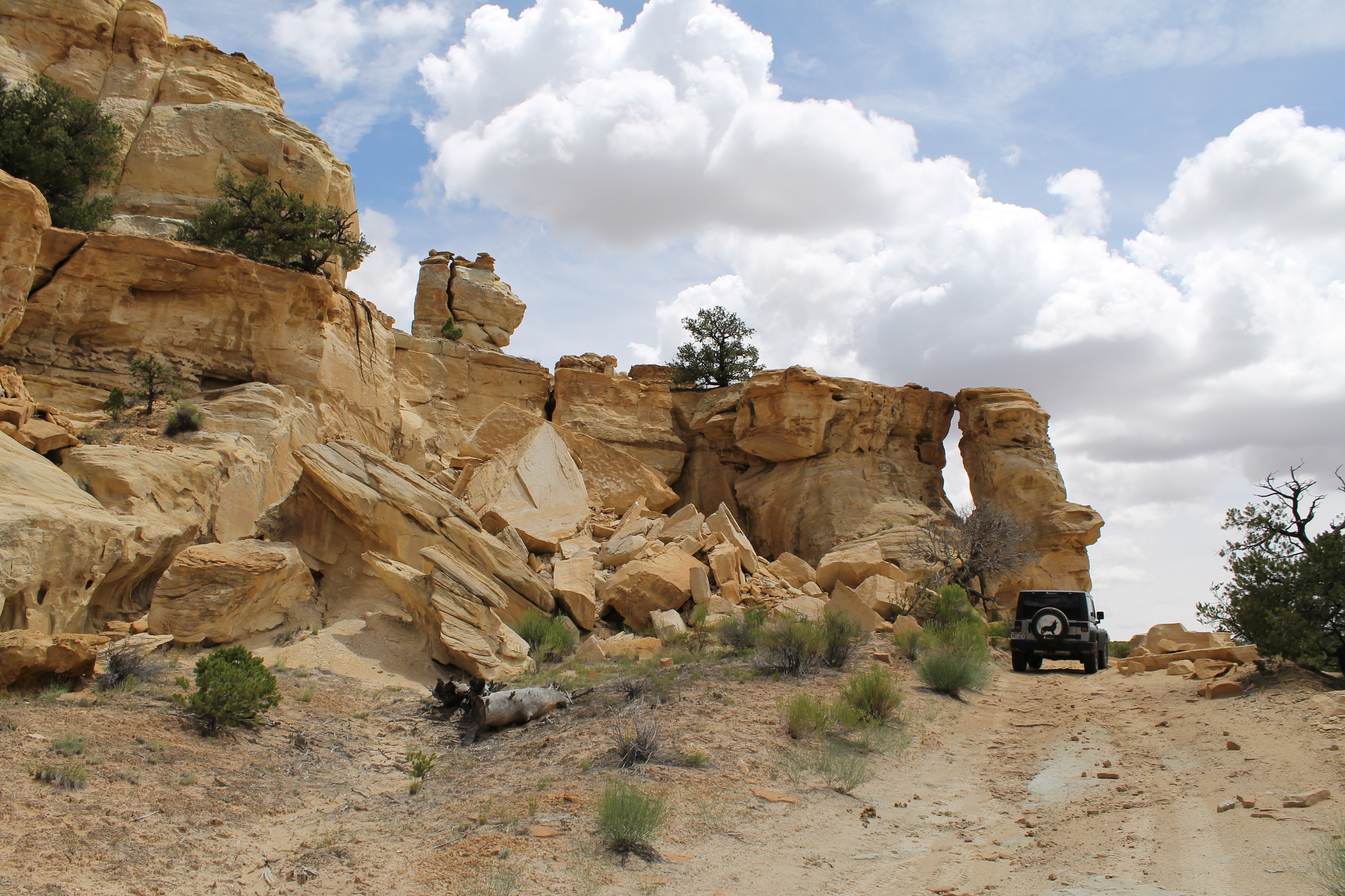
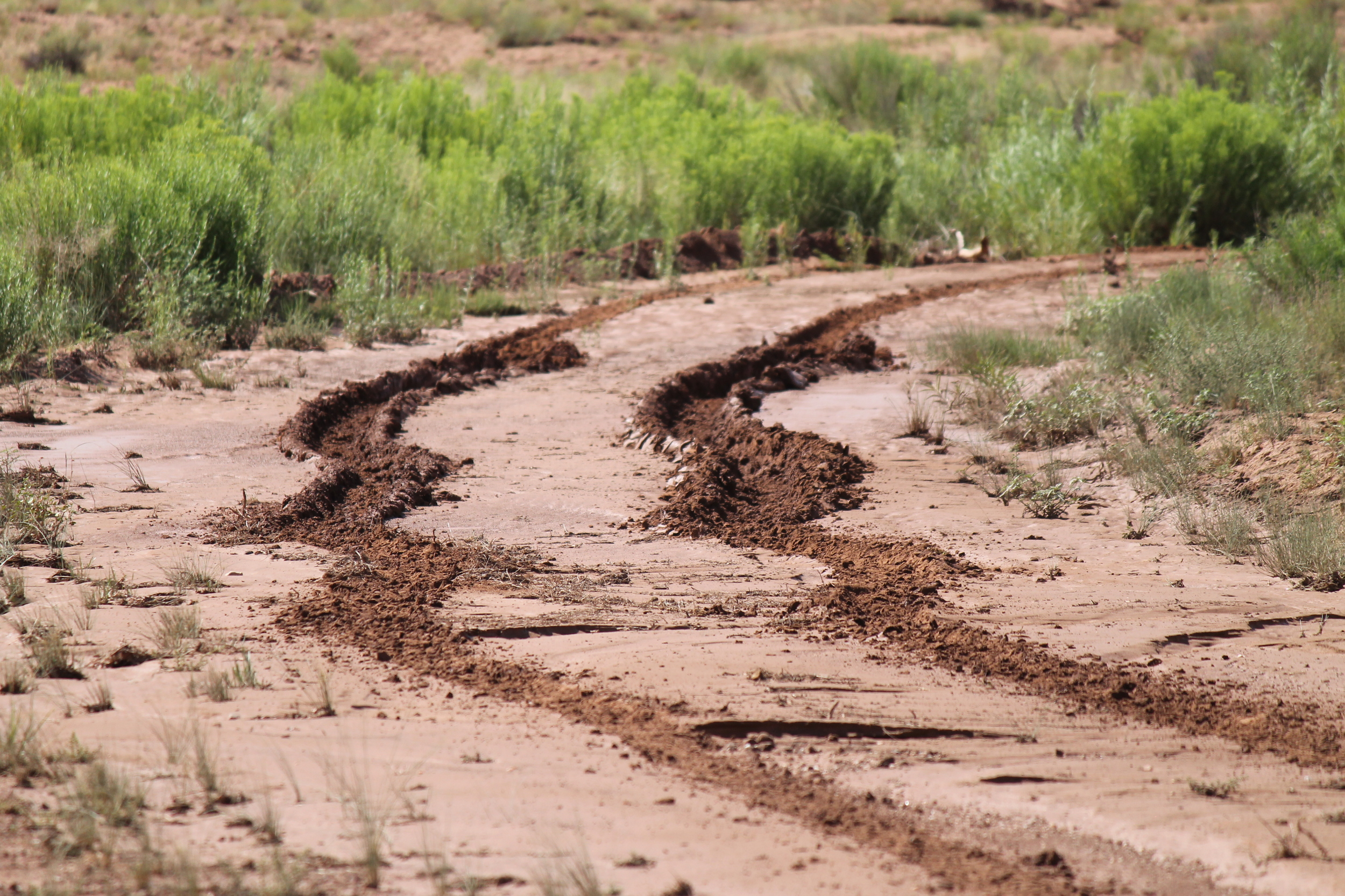
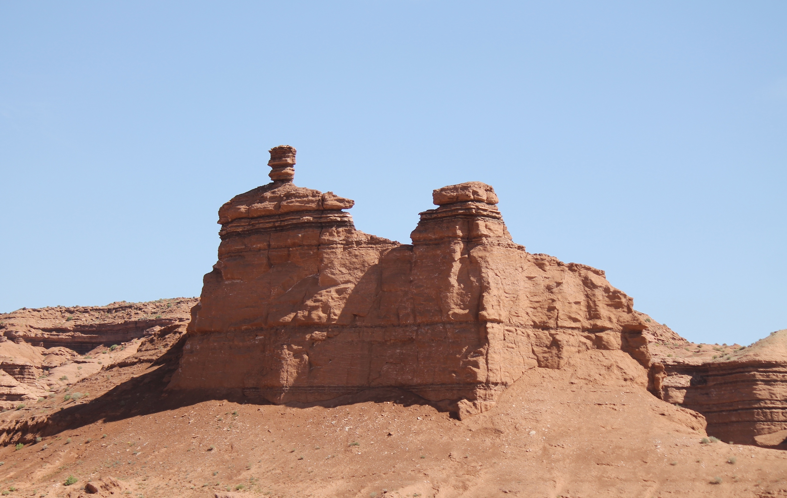
This western portion of the Swell is not as popular as areas further east and north, but nevertheless offers plenty of opportunities for adventure and stunning views. In addition to the creek, several washes fan between the buttes, rendering the area extremely dangerous during inclement weather, and virtually impassable afterward, at least until the sun dries the deep, dense mud. Some of the photos below were taken the day after storms sent flash floods rushing through these washes. Check recent and forecast weather conditions before venturing into the interior of this area.
Getting There
As with Sinbad, you have three refueling options before venturing in: Green River, Salina, and Emery. Green River is great if you plan to visit the Sinbad HMA along the way. Salina or Emery are preferable if Muddy Creek is your primary destination. Four exits provide southbound access from US-70 into this herd area: 91, 99, 108 and 116.
Viewing Locations
The BLM webpage for this HMA identifies two viewing locations, both of which may be accessed in the family sedan (absent mud). I'll add a third for the more adventurous and well-equipped.
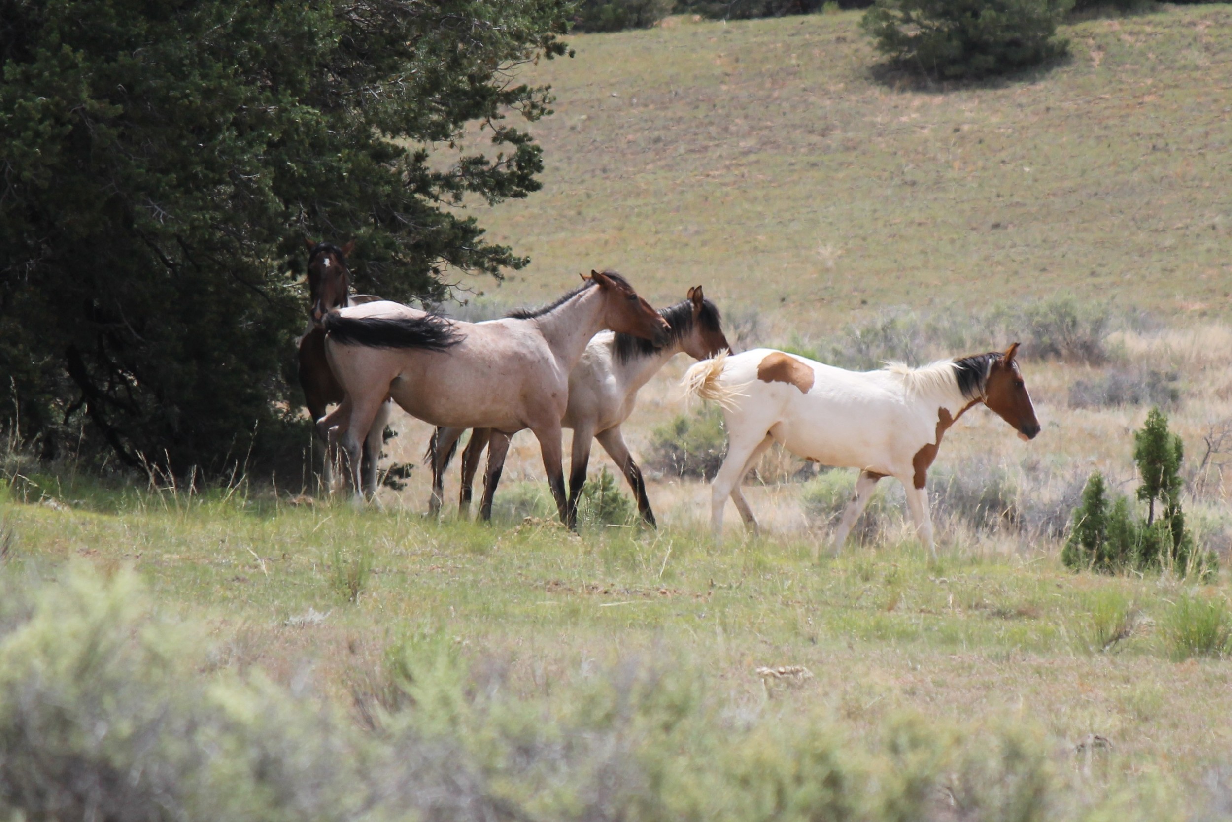
1. Justesen Flat is easiest to access, and perhaps the most promising. This location is immediately south of US-70, just off Moore Exit 116, and offers plenty of sites for picnicking or rustic camping. The dirt road branching south from the exit turns eastward almost immediately, paralleling the highway for a mile and a half as it descends to the flat -- a stunning birds-eye view of Devil's Canyon presents itself about halfway down. You've reached your destination when the road levels out beside a low log fence and you see a BLM information kiosk to your left. The close-in photos included here were taken from the top of the knoll directly south of this location, as a band of four casually grazed the meadow beyond.
2. The Cedar Mountain location identified on the BLM site is also an easy drive on well-groomed gravel roads, but significantly more distant from the highway. I visited this area in early spring, noticing hoof tracks and droppings (not particularly fresh) along the final stretch of the journey, but spotted no mustangs.
Coming from Salinas or Green River, follow US-70 to Exit 91, heading south on UT-10. Continue on this road as the pavement ends and the route becomes County Road 920, veering eastward. Keep right through the fork about 2 miles in, looping through a nearly 180 degree bend that sends you westward before curving south again. Continue along CR 920 another 5 miles to the point where the road curves sharply south toward a T-intersection with CR 921. You'll need to turn left here to remain on CR 920, AKA Lower Last Chance Loop Rd, so watch your mileage closely. You'll know you're getting close when you pass an old corral on your left, about 1.2 miles before this intersection. Having turned left, drive 6.6 miles generally eastward until the road turns north then hairpins south again immediately before another T-intersection. You'll pass through an elongated S-curve about 0.6 mile before reaching this long hairpin curve. This time, continue your southerly course past this intersection another 2.2 miles. Keep right at the fork 2 miles later. Another 3 miles places you between Cedar Mountain and Cedar Mountain East. Travel a few miles southeast of this location to reach the western rim above Hidden Splendor, looking across Muddy Creek to Sinbad.
To reach this location from Emery, head south on UT-10 to US-70. Continue under the US-70 onto the dirt road beyond, and follow the directions above.
3. For an easy high-clearance 4WD adventure passing through another promising area, take the Miller Canyon Exit 99 off of US-70. Most of the roads through this area are reasonably well-maintained, but can be deeply scarred in some locations by the washes cutting between the buttes. From the exit, head south along CR 912, AKA Blue Rd, as it winds through the buttes and ridges about 8.6 miles to Reed's Pond (on your left) and terminates in a T-intersection with CR 923 about a tenth of a mile beyond. Note that turning right at this intersection will take you immediately to the T-intersection appearing after the hairpin curve in the Cedar Mountain directions above. But turn left here, and keep an eye out, as mustangs may be seen at any point along this 8 mile stretch to Kimball Draw. Keep left to follow CR 923 east 2 miles. Take the left branch when the road forks, heading generally north about 3.4 miles to the Lone Tree Crossing bridge over Muddy Creek. Continue another 2.8 miles to the fork with CR 927 -- this is the stretch of road from which the more distant band pictured on this page was photographed. At the CR 927 T-intersection, veer left, remaining on CR 923 as it meanders northward another 5.5 miles toward US-70. The entire loop is just over 22 miles from freeway exit to freeway entrance, and will probably take at least two hours to complete.
Other Points of Interest
Coming soon.
Key GPS Coordinates
a. Exit 91, US-70: 38° 45.959' N111° 20.971' W
b. Exit 99, US-70: 38° 48.678' N111° 12.634' W
c. Exit 108, US-70: 38° 50.542' N111° 3.809' W
d. Exit 116, US-70: 38° 51.343' N110° 54.837' W
e. Justesen Flat: 38° 50.683' N110° 53.622' W
f. Cedar Mountain: 38° 37.733' N111° 6.955' W
g. CR 920/921 T-intersection: 38° 42.721' N111° 16.729' W
h. T-intersection after hairpin turn: 38° 43.117' N111° 10.468' W
i. Reed's Pond: 38° 43.327' N111° 10.344' W
j. CR 912/923 T-intersection: 38° 43.182' N111° 10.316' W
k. Fork east of Reed's Pond: 38° 43.319' N111° 8.508' W
l. Lone Tree Crossing: 38° 45.881' N111° 7.621' W
m. Kimball Draw: 38° 47.209' N111° 6.358' W
n. CR 923/927 T-intersection: 38° 47.280' N111° 5.909' W
Nearest Herd Areas
Sinbad: access point 20 miles east
Robber's Roost: 75 miles southeast


